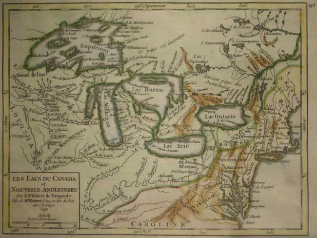
THE GREAT LAKES DURING THE FRENCH REGIME
Didier Robert De Vaugondy GREAT LAKES
LES LACS DU CANADA/ et /NOUVELLE ANGLETERRE / par le Sr.Robert de Vaugondy/fils de Mr. Robert Géogr. ordin du Roi/ Avec Privilage/ 1749
Hand coloured Copper engraving 6 7/16 x 8 7/16 (16.3 x 21.6 cm) Ref. JdeC 1/AVL/ o.anno> LAL PRICE CODE C
SECOND STATE, Published in Robert de Vaugondy Atlas Portatif, Paris 1748-49. Differs from the earlier state as this bears the printed number '193' top right. Depicts the Great Lakes and New England States showing native aboriginal territories, topographical features, and location of aboriginal and French regime village and out-post place names.
Home | Contact | Location | Links | Antique Prints | Fine Art | Antique Maps | Omnium Gatherum | Specialty Services
