Since 1763 the name 'Russborough' has been synonymous with collecting and dealing in fine art. In the closing decades of the last century the historic town of Port Hope has become home to Lord Russborough's Annex, which specialises in an individual mix of antique maps, paintings and prints.
An index of our Maps currently available:
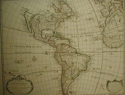
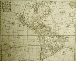
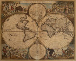
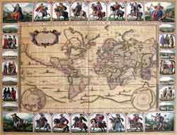
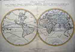
World & Western Hemisphere: 1 2 3 4 5 6 7 8
Arctic Regions: 1 2 3 4
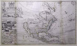
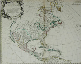
North America: 1 2 3 4 5 6 7
Canada and Great Lakes: 1 2 3 4 5 6 7 8 9 10 11 12 13 14 15 16 17 18 19
Europe:1 2 3 4
British Isles: 1 2 3 4 5
Asia: 1 2 3
Celestial Charts: 1 2


|
|||||||||||||||

|
|||
|
|||||||||||||||

|
|||||||
|
|||||||||